 Catàleg local de Mallorca
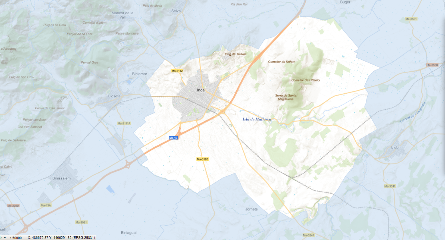
Ajuntament d'Inca
Type of resources
Available actions
Municipios
INSPIRE themes
Keywords
Contact for the resource
Provided by
Years
Formats
Representation types
Service types
Scale
-
Web Map Service that allows access to the cartography of the Urban Tree Management Plan of the municipality of Inca, definitively approved on October 14, 2023. The service contains the layer in point format of all the trees in the urban center of Inca and whose attributes refer, among others, to the gender, height and width, state and action to be carried out. The associated symbology of the capes is defined by the Inca City Council. Access to this service is free as long as the Inca City Council appears as the owner of the data and the Consell de Mallorca as the owner of the service.
-
Cartography of the network of roads, roads and streets of the municipality of Inca. It refers to the topic Transportation Networks in Annex I of the INSPIRE Directive. Mapping generated in 2019. The sources are the streets and paths of the Cartociudad's project, wich are update with the staff's knowlege of the council. Scale 1: 2,000 the streets and scale 1: 5,000 the roads and roads. Reference system: ETRS89. Projection system: UTM fus 31. Storage format: PostgreSQL.
-
Web map service that allows access to the cartography of the Catalog of roads in the municipality of Inca in 2018 which includes the ownership, status and typological aspects of the roads. The symbolism associated with the layers is defined by the Inca City Council. Access to this service is free as long as Inca City Council appears as the owner of the data and Consell de Mallorca as the owner of the service.
-
Web Map Service that allows access to the cartography of the addresses of the municipality of Inca. Cartography extracted from the Cartociudad project. The service contains the general layer called AD.Addresses.027 contains the addresses of the urban center of Inca and a few kilometers from the rustic area of the municipality. The symbolism associated with layers is defined by the INSPIRE specifications. Access to this service is free provided that Inca Town Hall appears as the owner of the data and Consell de Mallorca as the owner of the service. Scale 1: 2,000.
-
Data set that contains the trees of the urban center of the municipality of Inca, the result of the Urban Tree Management Plan of the municipality approved and published on 2023/10/14. Scale 1:1,000. The reference system: ETRS89. Projection system: UTM zone 31. Storage format: SHP and Geopackage
-
Data set that contains the Catalog of roads in the municipality of Inca that includes the ownership, status and typological aspects of the roads. Scale 1: 5,000. The reference system: ETRS89. Projection system: UTM spindle 31. Storage format: GeopPackage and Postgis.
-
Data set containing the addresses of the urban center of Inca and a few kilometers from the rustic area of the municipality. Cartography was extracted from the Cartociudad project of 2012, a state project that collects all spatial information related to directions and roads. The AD.Addresses layer is a layer of points and contains the addresses or portal numbers and various attributes that follow the Cartociudad data model and INSPIRE. Scale 1: 2,000. The reference system: ETRS89. Projection system: UTM fus 31. Storage format: PostgreSQL.
-
Web Map Service according to the INSPIRE profile of ISO19128 WMS 1.3.0 that allows access to the cartography that represents the transport infrastructure network of Inca, Mallorca, Balearic Islands Spain. The scale of representation is 1:5000 for the roads and 1:2000 for the streets. Geographic information belonging to the Inspire annex is shown: 1) Transport networks. The layers of information are in accordance with the INSPIRE Directive 2007/2/EC (name, title and style Inspire by default). The access or connection to this service, to obtain the functionalities is free in any case.